Projects — Growth
La Dura — the district just got bigger.
Acquired December 2025 — 20 km² of contiguous mining concessions hosting multiple historic mines and workings, including the notable four-level La Dura mine: a gold-silver (Au-Ag) epithermal target 15 km from Copalquin.
01The Property
A historic mine, awaiting a modern approach to exploration.
Most of the historic mining activity sits along strike from the La Dura mine itself, with a second cluster of adits roughly 1 km to the south — a compelling gold-silver epithermal drill target across a property that has seen only limited modern drilling to date.
LiDAR flown
with structural interpretation completed across the full 20 km² concession package
Aerial magnetics
survey completed — targeting support alongside the LiDAR structures
Large database
of historic exploration data (sampling, mapping and geochemistry) — not verified under NI 43-101 and not treated as a current mineral resource
Same working area
as the flagship Copalquin property, 15 km away by road
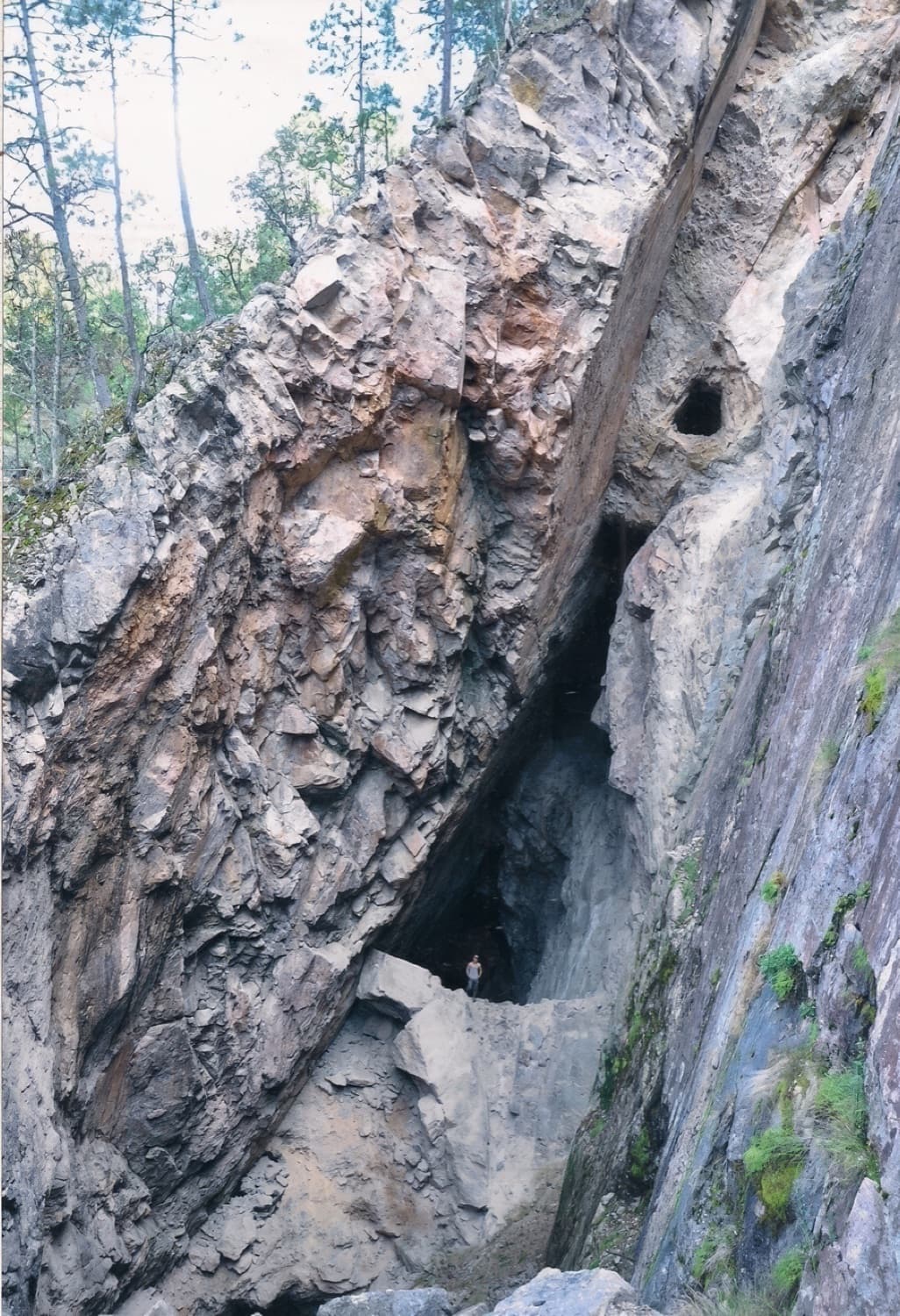
La Dura Mine
Historic four-level workings
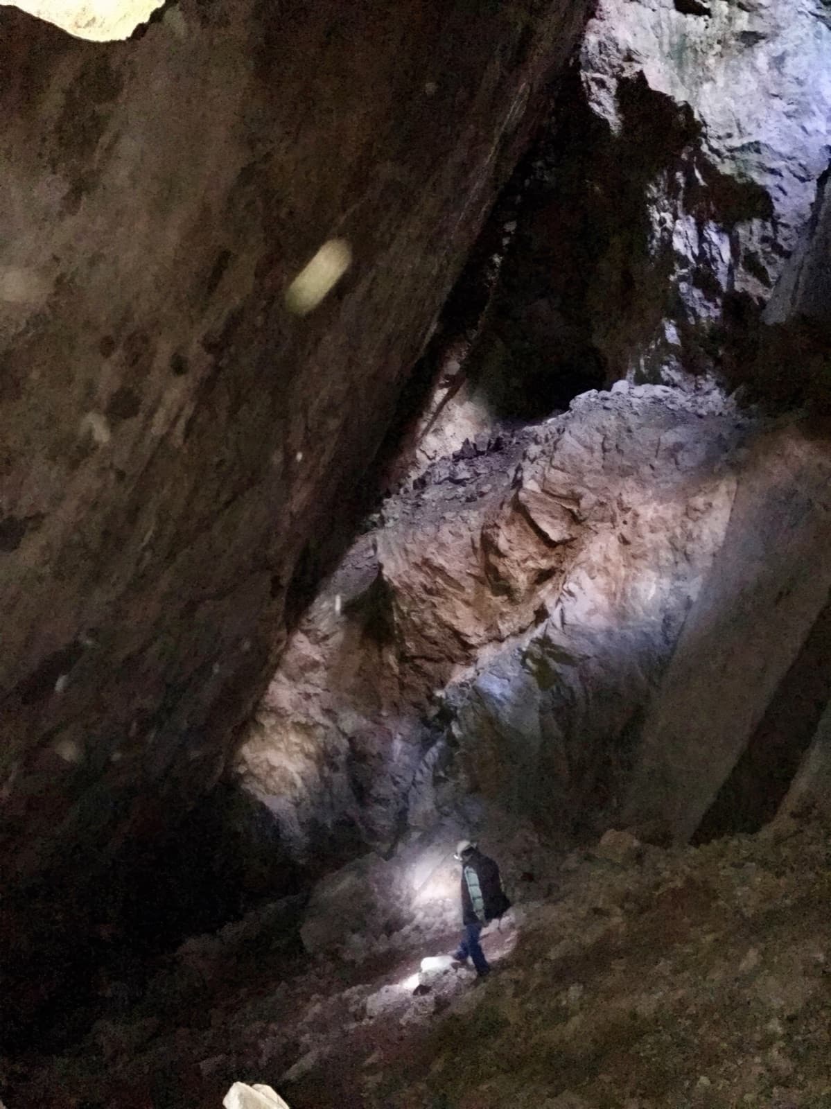
62 HISTORIC U/G WORKINGS FROM LIDAR
18 shafts · 44 adits · 134 prospecting pits

02LiDAR Interpretation
A drill target, already defined.
LiDAR reveals a 1.5 km northwest trend of workings, 300 m wide — a strong initial drill target anchored by the historic mine.
18
Shafts
44
Adits
134
Shallow prospecting pits
1.5 km
NW trend of workings, 300 m wide